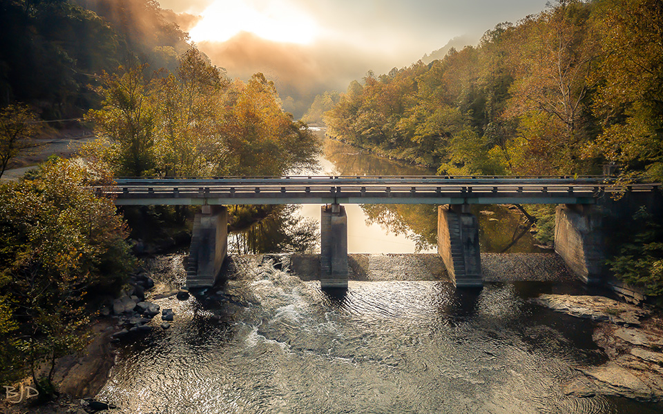
Virginia Scenic byway-Cumberland Mountain Drive
The Cumberland Mountain Drive on State Route 611, Virginia Scenic Byway winds through the Dickenson County mountains giving you a glimpse of rural mountain life, past and present. The 19-mile excursion is well worth the drive as you may encounter several species of birds, and wildlife in abundance. The mountainous scenes are breathtaking and the feeling of “turning back time” to enjoy some beauty and serenity of a less hurried world. There are many wild flowers along the drive. You may access Birch Knob Tower from Route 611 as well as John Flannagan Dam and Reservoir where you may discover rafters preparing to challenge the white waters of the Russell Fork River. Other sites along the way are the Pine Mountain Trail Ride Trail head, Branham Farm Wildlife Area, remnants of the Old Ranger’s Cabin and some old farms, including the Childress Farm which is still a working farm. Further down Route 611, you will see the old CCC (Civilian Conservation Corps) Road built in the early 1930’s as part of the governmental legislation project proposed by Franklin D. Roosevelt during the Great Depression to aid in the high unemployment rate. At Bartlick, you will find the historical Bartlick/Splashdam Bridge built many years ago by a logging company. The logs were locked and then released to flow to Elkhorn City, Kentucky. At the end of Route 611 at Bartlick, you will turn left at State Route 80 which will take you into the Breaks Interstate Park (one of our most visited sites in Dickenson County)
Basic driving directions
From Pound, Virginia, take Route 83 into Clintwood. Turn left on VA 631 for 2.8 miles then right on VA Scenic Route 611 to Bartlick where you can access Route 80, 5 miles from the Breaks Interstate Park. The scenic drive is approximately 19 miles.
From the Breaks Interstate Park, take Route 80 toward Haysi, in 5 miles turn right on St. Route 611, Virginia Scenic Byway and travel approximately 19 miles to Clintwood, Virginia.


